
Severe Weather Coordination Message #2 – Monday 7/23/12 and Tuesday 7/24/12 Severe Weather Potential
Hello to all..
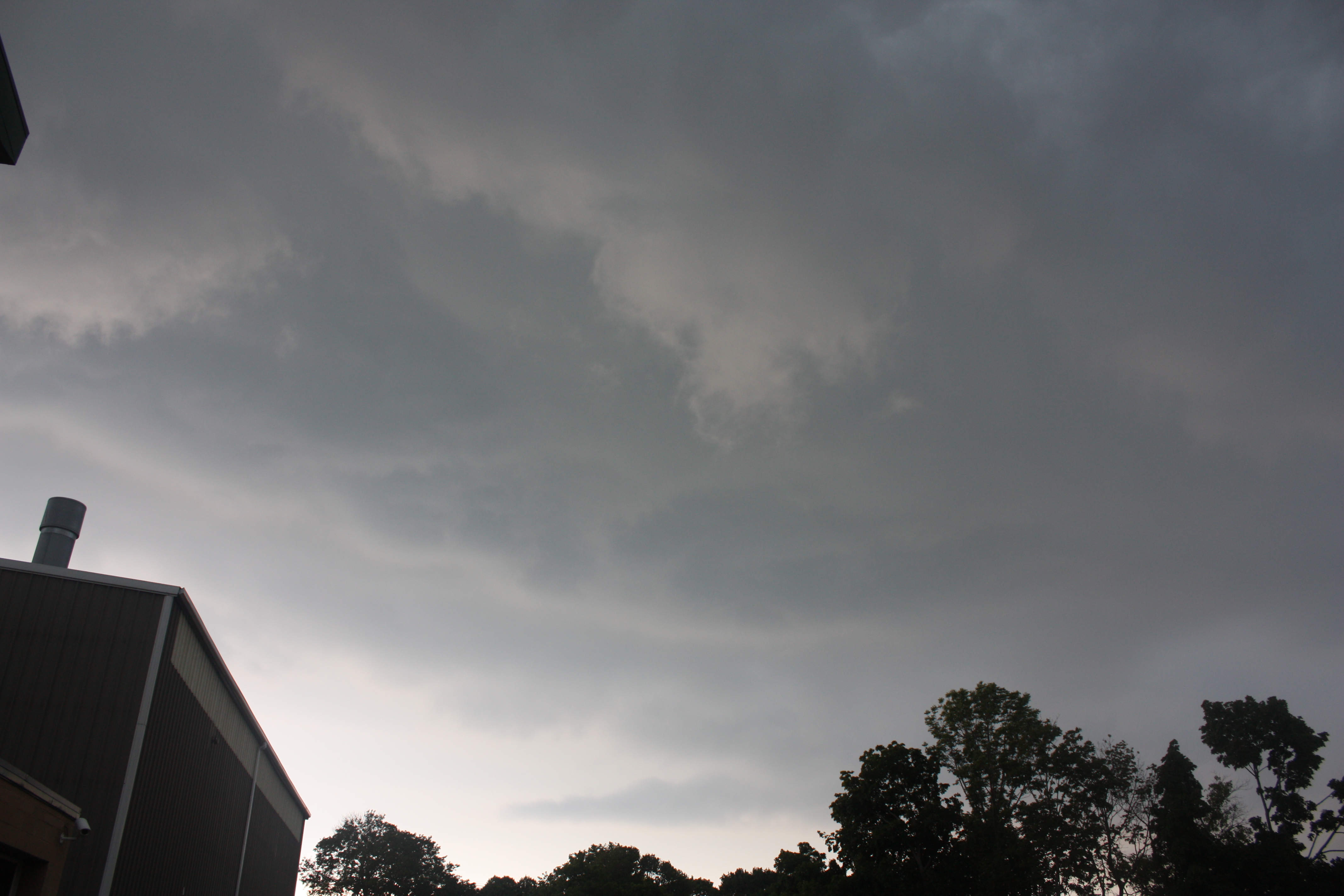
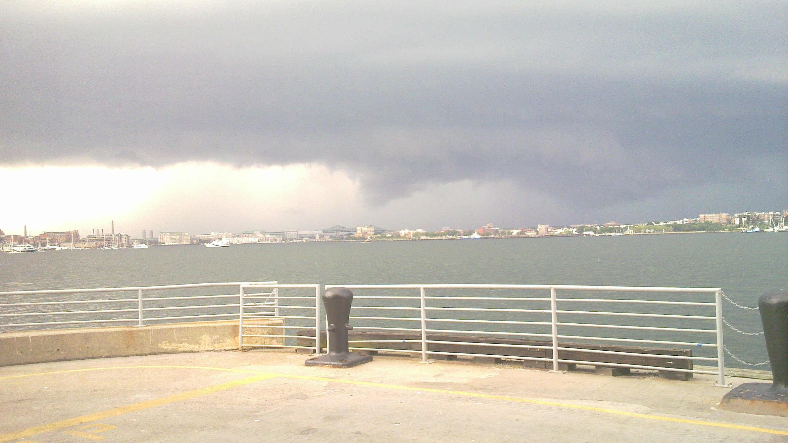
..Isolated to Scattered Strong to Severe Thunderstorms remain possible over Interior Southern New England on Monday. Damaging winds, large hail and urban and poor drainage flooding are the primary threats..
..The Storm Prediction Center (SPC) has continued 5% probabilities of severe weather over much of Southern and Eastern New England with a Slight Risk for severe weather over Western, Northern New York, most of Vermont, Northern New Hampshire, Western Maine now extending into extreme Southwest New Hampshire and extreme Western Massachusetts and NWS Taunton is in agreement..
..An additional potential for severe weather exists for Tuesday and will be covered in future coordination messages after the Monday Severe Weather Potential has passed..
..SKYWARN Activation with Ops at NWS Taunton are possible on Monday Afternoon and Evening and again on Tuesday Afternoon and evening..
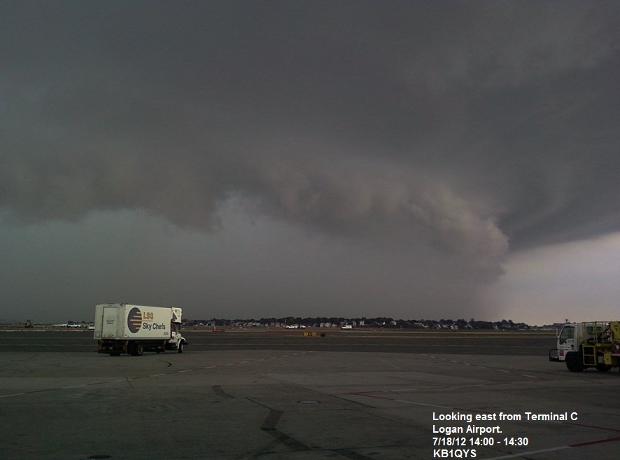
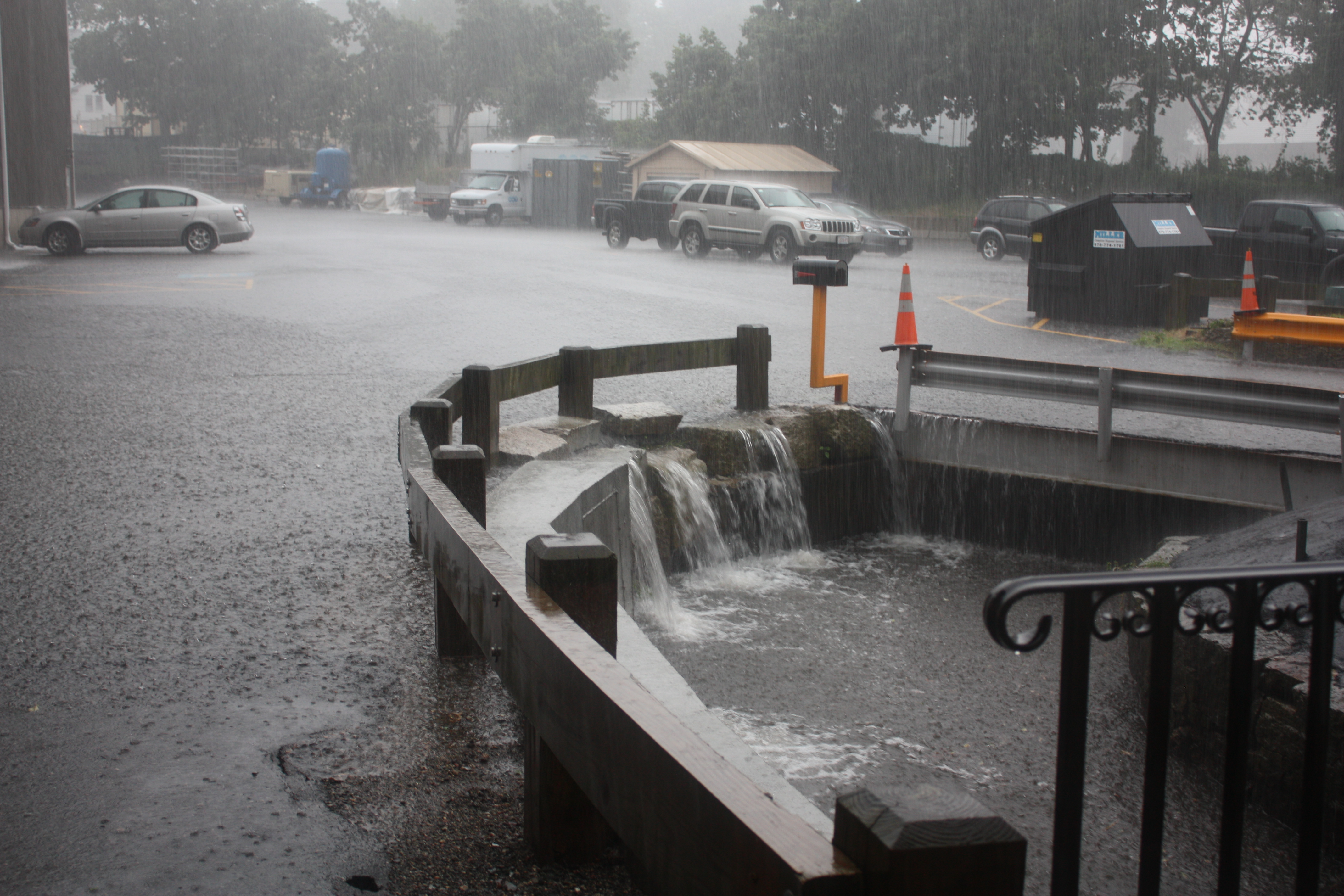
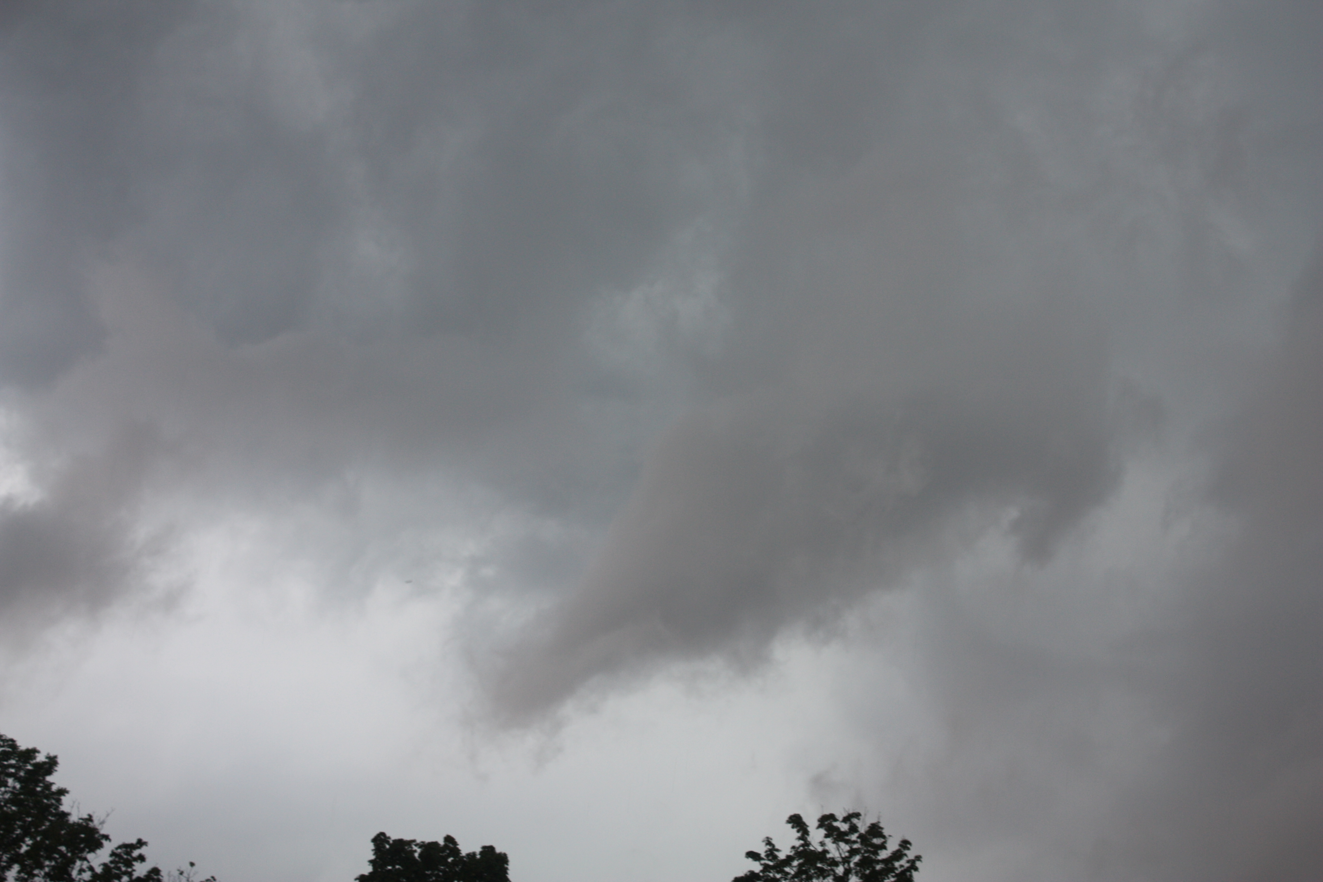
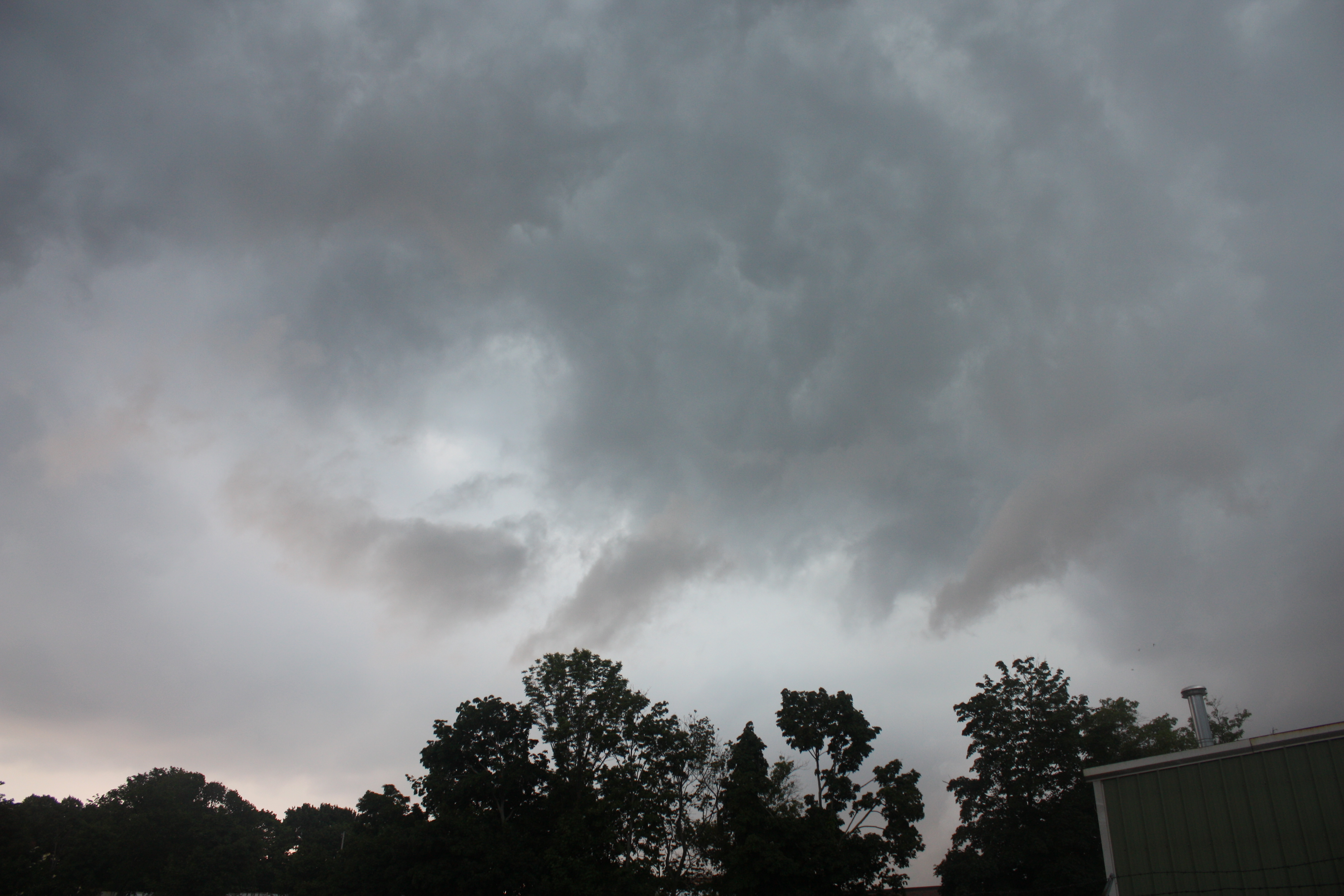
At 700 AM Doppler Radar showed an area of showers and possibly embedded thunderstorms over South-Central and Southeast New York moving into Western New England with some additional shower activity in Eastern Massachusetts. Satellite imagery shows clearing north and west of this activity. Further upstream, a trough with some shower and thunderstorm activity is moving east-southeast from the Lake Huron area. This trough and activity in Lake Huron may be close enough to Southern New England for isolated to scattered strong to severe thunderstorms with damaging winds, large hail, and urban and poor drainage flooding as the primary threats. The threat timeframe will be during Monday Afternoon and evening. Low severe weather probabilities have been introduced by SPC for much of Southern New England with a Slight risk for severe weather over Western and Northern New York, most of Vermont, Northern New Hampshire, extreme Western Maine and now extending into extreme Southwest New Hampshire and Western Massachusetts. The proximity of the front, cloud cover, and wind shear over the area will determine the risk for severe weather for Monday Afternoon and Evening.
There is also the potential for severe weather on Tuesday. This will depend on the timing of the cold front over the area as well as wind shear and cloud cover over the region similar to Monday. This will be discussed in greater detail after the Monday severe weather potential has passed.
SKYWARN Activation with Ops at NWS Taunton are possible Monday Afternoon and Evening. This will be the last complete coordination message on Monday’s severe weather potential. A shortened coordination message will be sent if time allows and Ops at NWS Taunton are initiated. Below is the NWS Taunton Hazardous Weather Outlook, SPC Day-1 and SPC Day-2 Convective Outlook:
NWS Taunton Hazardous Weather Outlook:
http://kamala.cod.edu/ma/latest.flus41.KBOX.html
SPC Day-1 Convective Outlook:
http://www.spc.noaa.gov/products/outlook/day1otlk.html
SPC Day-2 Convective Outlook:
http://kamala.cod.edu/spc/latest.acus02.KWNS.html
Respectfully Submitted,
Robert Macedo (KD1CY)
ARES SKYWARN Coordinator
Eastern Massachusetts ARES Section Emergency Coordinator
Home Phone #: (508) 994-1875 (After 6 PM)
Home/Data #: (508) 997-4503 (After 6 PM)
Work Phone #: 508-346-2929 (8 AM-5 PM)
Email Address: rmacedo@rcn.com
http://ares.ema.arrl.org
http://beta.wx1box.org